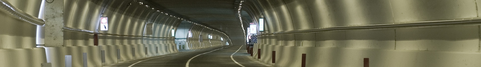
TuView, Tunnel-Inspector and Tunnel-Info
Computerized management of road/rail tunnels
CAREERS | RESERVED AREA | CONTACTS | ITALIANO


Computerized management of road/rail tunnels
Software applications developed to digitally manage inspection data for road and rail tunnels, acquired through Tunnel Scanner System (TSS) technology.

The Tuview software allows users to visualize, analyze and process the data detected by the TSS “Tunnel Scanner System” tool. The program allows the visualization of the three channels of the tunnel survey: photographic survey, thermographic survey and geometric survey.
The images are presented as a even visualization of the entire tunnel surface surveyed at 360°, including the pavement.
It is possible, for each type of survey, to scroll through the images at a predefined section with absolute precision.
The three types of detection can be displayed individually or contemporaneously, thus facilitating the identification of particular phenomena through the comparative analysis of channels.
The software allows users to extract a variety of information about sections, such as the distance of one point from any other, the surface of the section and the perimeter.
It is also possible to set a theoretical outline at a particular point in the section and slide it along the tunnel.
This makes it possible to obtain a map of the points of contact with the facing which, superimposed on the visual image, offers a valid tool for analyzing the regularity of the arch.
The geometric survey also allows three-dimensional high definition zooming.


Using the laser images acquired by the TSS survey, the software allows users to computerize the data related to the conservation state of the tunnel and to record all the present systems (lighting, ventilation, ducts, etc.) or, if required, to associate the results found during subsequent campaign inspections.
The Tunnel Inspector combines digital processes for information acquisition and processing with classical set up methods for in situ investigations.
Engineers can rely on findings available depending on the date of inspection of the three channels (thermographic/photographic and high-definition photographic) along the entire course of the tunnel. This makes it possible to estimate and catalog deterioration by severity and size, monitor their evolution, study staff intervention plans that combine the optimal economic outcome with the expected level of service while maintaining minimal operation interference. The data thus processed allow one-to-many analysis, by tunnel type, construction technologies, effectiveness of maintenance interventions, thanks to the histogram representation of the extensions of homogeneous anomalies.


")
The software, created and developed on the basis of the know-how of the Company, allows users to “navigate” within a network of tunnels, offering the possibility both to view all the detailed information of a single tunnel and a single survey, and to compare, automatically, the inspections carried out in different years on the same asset or on a specific part of the asset itself.
In particular, it allows users to store and manage the surveys originating from the TSS “Tunnel Scanner System” tool together with the results provided by the visual inspections carried out, at different time intervals, using as support the images originating from the TSS survey.
This information, updated from time to time and archived, makes it possible to create a database of the evolution of the deterioration of the structure and also to define specific models of deterioration of the asset on the basis of which to promptly schedule maintenance interventions.
In addition, the software produces a statistical summary, in the form of a graph, of the percentage variations recorded in successive years, which is used both to rapidly identify the tunnel sections with the greatest variations and to compare the evolution of degradation between the different assets. Tunnel-Info is currently successfully implemented for the preparation of the maintenance priority list for many tunnels located on different highway sections on a total of about 200 tunnels.

